 OpenGeofiction

!http://wiki.opengeofiction.net/wiki/index.php/File:Zuid_Utterland_Smalspoorbanen.jpg

Although Utterland is still a little bare, I’ve progressed to putting in a narrow-gauge railway system in the hilly south. The map shows black lines as the ZUS network, red the (at times rudimentary) mainline network, and green the international connections.
I have yet to map the capital city, Uisteren, as well as most of the towns on the network. Just wanted to see how it works.
Apologies, I can’t seem to get the image to display. Help.
Discussion
Comment from martinum4 on 12 April 2017 at 21:44
See also this list, it’s really helpful as kind of a easy factsheet for railways (if you want you can tag your railways similar to mine and have a look at the overpass queries)
Also tag the railways [accordingly] (osm.wiki/Tag:railway%3Dnarrow_gauge), some renderers render small gauge different, keep in mind that you can use smaller curve diameters, also you can use gauge=smallgaugemilimeter;othergaugemilimeter for normal railways that have an integrated third rail for narrow gauges, as an example: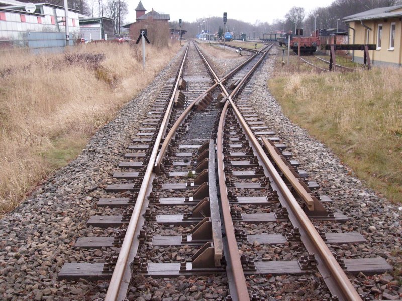
Comment from wangi on 13 April 2017 at 09:41
Have a read of the guide on building realistic railways - you need to get curves, rather than abrupt line changes.
At junctions model on real world, rather than thinking of them more like highway junctions.
Comment from ADB52 on 13 April 2017 at 10:14
Thank you, @wangi. Feedback absolutely appreciated, I’m very much on a learning curve still.
Comment from ADB52 on 13 April 2017 at 11:11
The junction at Grammer is a work in progress, I should add.