Diary Entries in English

Recent diary entries

Posted by admin on 25 September 2026 in English.

These are not the user diaries you are looking for. Instead try:

The user diaries on OGF are not used the same as the ones on OSM. Over time, the forum on the wiki has come to replace them for official announcements and other posts. We have kept the functionality in place, as an archive, but generally new posts should not be made.

Posted by Luciano on 5 July 2022 in English. Last updated on 6 July 2022.

I have posted a discussion on the wiki Forums, but will cross-post here for maximum visibility to the community.

https://wiki.opengeofiction.net/index.php/Forum:Global_and_regional_issues/The_South_Archantan_%22Grand_Lakes%22_System

Comments posted here will be moved to the forums, so it would be preferred to just go ahead and post there if you can.

Thanks! Happy mapping.

Posted by Anonymous21 on 10 June 2022 in English.

Most of the major OGF cities developed over long periods of time and in a seemingly “random” fashion, which definitely makes for very interesting results. However, I think that we could also add a new, master-planned city to the mix.

Although relatively rare, there are some major planned cities being built in the real world. For example, Egypt is currently building an entirely new capital city outside of Cairo, the current capital. The city, designed to give the government additional space beyond the cramped Cairo city center, is planned to house many additional residents for the burgeoning Cairo area.

There are other real-world projects like this as well. I’m thinking that we should create a new collaborative project that would be designed with the same concept in mind - to create a dynamic, modern, well-planned metropolis.

For this project, we would use a small territory with little previous human inhabitation (I’m not talking about previous owners, but about populations that occupy the territory before we build the city). We would essentially start the city on a empty canvas and develop it to become a modern, sustainable city-state (yes, it would be its own country as well).

This is just a starting idea, so I haven’t figured out the details yet - if we (the community) like this idea, we’ll figure the details out later.

Anyways, what do you think? Please reply with your comments, questions, concerns, thoughts, criticisms, etc.

Thanks!

Anonymous21

Posted by Anonymous21 on 8 June 2022 in English.

So… I’m planning on starting my capital city here, but I’m at a loss of how to start.

Here is a basic idea of what I’m thinking I want my city to be:

  • A mid-to-large-sized capital city of my country
  • An important governmental center
  • A somewhat-important port (but I want the city to look as if it was originally built around the nearby river mouth
  • A significant cultural, academic, and commercial hub
  • A high-tech area
  • The largest city in a larger metropolitan area (ie no substantial rural areas - there are two other significant cities nearby the capital)

The terrain is a relatively flat coastal area.

So, I’m really drawn to a blank as to how to start the planning of the city. I really want this city (and the metropolitan area generally) to be reminiscent of an old city that developed over a long period of time.

So how do I create a city center that looks authentic and not master-planned? How do I create a road system that doesn’t look like a curved grid system or something like that?

Anyways, I think you get what I’m saying.

Thanks!

Anon21

Posted by Portier on 13 May 2022 in English.

I finally decided to stop using iD and to use JOSM instead, like everyone else has been doing for years, but it seems like the authentication process for uploading doesn’t work! I’ve read the advice that says we should use basic authentication, enter username and password and that should be fine, but it looks like it isn’t fine in my case, as it still says that the process failed. What’s the obvious, silly mistake I’m making?

Posted by Luciano on 1 April 2022 in English. Last updated on 3 April 2022.

I am preparing to run new and updated contours for the ogf-topo layer tomorrow.

Currently I have submissions for:

zone-alved (SwissCrusader) zone-liberian (pzs111111) zone-udzdanarat (Ūdilugbulgidħū)

Are there any other contour updates?

If you have material for me, please remember to follow the procedure outlined at the bottom of my blog post (Part IV):

https://blog.geofictician.net/index.php/2022/03/05/the-state-of-the-ogf-topo-layer/

I will not accept “made from scratch” .osm files moving forward. Contour submissions MUST be edits of downloaded templates, per the outlined procedure (I have ways of knowing)! If templates don’t exist, you must ask me to create one before editing your contours.

Happy mapping.

[UPDATE 2022-04-03] I ran into some problems running these contours. Specifically, Udzdanarat is too close to the “edge of the world” which creates some very strange boundary conditions that give the ogfsrtm scripts “out of memory” errors. I have run out of time to work on this - so unfortunately contour re-load will be delayed for now. Sorry all.

Posted by TheMayor on 27 March 2022 in English.

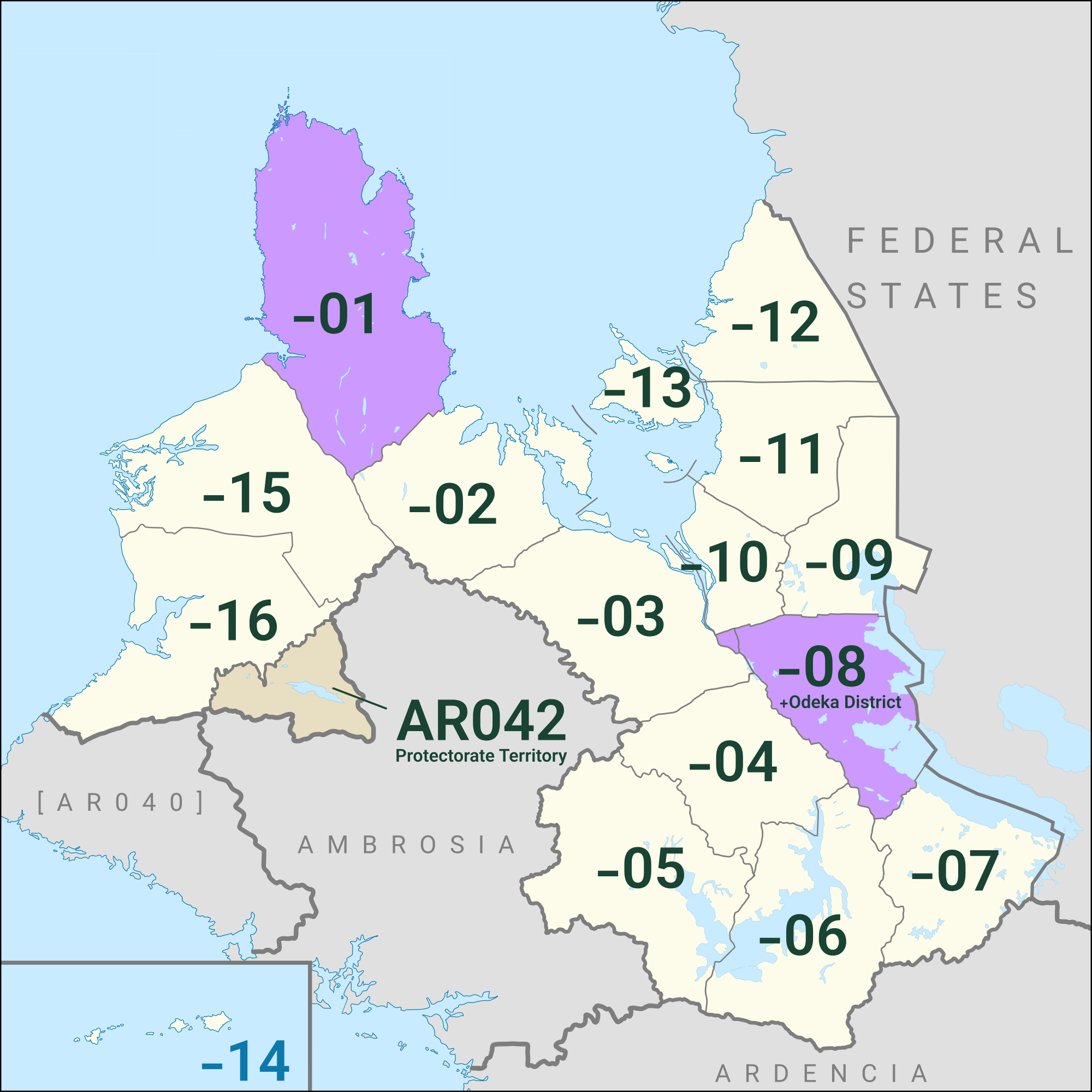
The reimagined, rebooted Deodeca project is now available for mapping. The new Dominion of Deodeca is intended to be an English-language state-based project that is meant to be something of a counterbalance to the American-inspired Federal States of Archanta to the east, a nation comprised of Commonwealth-inspired former colonies that remained loyal to the Crown when the FSA initially declared independence.

Deodeca is not intended to be the “OGF version” of any real-world nation, although Canadian and Australian influences are anticipated.

Sketch map

Deodeca also includes a new collaborative territory named Agawaskway, a southern Ontario-inspired region organized by varnel_maiser.

If you are interested in participating in the project or have any questions about requesting a territory, please let me know.

Happy mapping!

-Mayor

———

… See full entry

Posted by eleinads on 25 March 2022 in English. Last updated on 26 March 2022.

Dear OGFriends,

I write this diary page because I would share with you some aspect regarding the mapping of the new city in Gardensa, that is Sirassa, in the sub-region of Arnur.

As I wrote in a previous page, the aim is to have in Gardensa a second big city after Giliarca, that is now totally mapped.

Mapping is just starting out: as you can see, there is no big city yet there. So, i would like to submit three aspects, in order to map this city in full sharing.

1) The structure.

Sirassa will have a structure based to the same pattern of Giliarca: the model is, in RW the thypical tropical city founded by european navigators. Two examples in RW: La Habana, and Macau. So, the core of the concept is: a little historical centre based on typical european architecture, structure and culture, surrounded by a very large modern typical not-european structure.

If you’re in the center of La Habana you see christian churchs, typical spanish-style old buildings. If you ‘re in the center of Macau you equally see baroque churches, very little typical-portuguese irregular alleys, typical old-european paves in the squares. And the rest of the urban structure is different, with the large and wide pattern of the typical tropical or sub-tropical metropolis.

The same is in the center of Giliarca and the same will be in the centre of Sirassa: little old centre founded by old navigators, big spread rest of city regular, geometrical, wide, large. In Giliarca is now so, in Sirassa this is the project: for the moment there is only the old centre.

2) The method.

… See full entry

Posted by Anonymous21 on 9 March 2022 in English.

I’m working on developing some cities in my country, Kåra. As far as cities go, I’m pulling some design ideas from RW Europe.

I’m curious what ideas you have as far as what European-style suburbs look like because I’m not really sure - I’m from the U.S. (and not a very populated state at that) and was born and raised in the suburbs - which look something like this extending for miles:

U.S. suburbs

But I’m pretty sure that European suburbs don’t look like your typical American suburbia. So what do they look like? Do most people live in single-family (detached) homes or row houses? Are residential and commercial areas thoroughly mixed (in the U.S., we like to cram all of the commercial stuff in one area and then just build out)?

I’d love to have a bit of feedback since American suburbs aren’t exactly… European 😂

Thanks :)

Posted by Luciano on 5 March 2022 in English.

I have posted an extensive entry on my geofictician blog to discuss the OGF Topo Layer, including the new procedures to support topo going forward. Rather than replicate that long write-up here, please visit my blog to read all about it.

https://blog.geofictician.net/index.php/2022/03/05/the-state-of-the-ogf-topo-layer/

Thank you to all the mappers who have contributed to topo so far, and looking forward to lots more and much-improved topo in the future!

Comments welcome below, rather than at the blog (where they’re also welcome but people are less likely to see them).

Posted by SnowFoliage on 5 March 2022 in English.

I have previously built up a major city (yes, I love making metropolitan areas.) called Meredy, of the prefecture for which it is named after, in Rhododactylia while I still have no territory claims, I had another older account that was working on surrounding areas, and I think I labeled the city before on this account, I actually got it off to a headstart, I did previously do a former large (now tiny) city called Linden, without understanding how the motorway and other major highway layout should be according to OGF standards on said old account, I was reminded that after submitting a diary entry asking for opinions on the area, that the layout had way too many motorways and such, I live in Chicago metro so that’s sort of where I got this precise idea from, and maybe into why I love building made-up metro areas in the first place.

… See full entry

Hi!

I am starting to map my territory in East Uletha, Kåra and I was wondering how I can go about adding my country to the Assembly of Nations.

Although I am still in the early stages of mapping my country, my country has/will have: * high standards of living nationally * a written constitution guaranteeing individual and civil liberties * democratically elected leaders, both executive and legislative * a federalist government, with powers divided between the national and state governments * a market economy with appropriate governmental regulation

Anyway, I think that my country would fit well in the AN.

Thanks!

Anonymous21

Posted by admin on 18 February 2022 in English. Last updated on 21 February 2022.
Posted by eleinads on 7 February 2022 in English. Last updated on 27 March 2022.

Dear friends, I’m back, after a couple of years i finished mapping the main city of my territory: Giliarca, in Gardensa:

Unfortunately, in the last months I had no time to stay actively in OGF, but I’m ever very attached to this world. Now, my project is to map a new, second big city in Gardensa, in order to make more realistic the social-politic dinamycs in this land (a country with two big cities, the capital and another one, is more balanced, in my opinion). The area where the new city will be mapped is here.

Two things:

1) Mapping Giliarca toke me two years: I think the time to map the new city will be not shorter, maybe longer: unfortunately there is a real life out of OGF. But the project is going to start.

2) Maybe, in the last two years something changed in the rules and the mechanism of OGF, and it’s possible that I lost anything. If I do any mistake and if I transgress any rule of OGF, please tell me it without any problem.

Best regards to my old OGF friends and to the new ones that came recently.

Posted by hhg1405 on 29 January 2022 in English.

Hey everyone, I’m a casual mapper who decided to click on the list of 952 issues with my preferred region of Sainte Agnès (Ardencia). Ever since then, the Passage de Matchicoumi body of water has disappeared, and the surrounding area experiences major flooding errors.

Here is what I think happened. Among the unconnected paths and the overlapping roads, there was also ‘outdated tags’ and ‘missing role’. Now, as I said, I am a casual mapper, meaning I have no idea what relations are or what tags do. So, determined to shorten the list of issues with the region, I upgraded the tags of the coastlines and gave the line of an island (île de Mars) the role of ‘outer’ in relation to water. I had no idea what any of this meant, but I did it hoping to cut down on that issues list. Ever since, bodies of water have disappeared and solid land becomes water on different zoom levels.

So, my point is, I think I screwed up, unless this is a bug that will go away with time or maintenance. Either way, It would be great if a more experienced mapper went and checked on the situation so I don’t end up destroy another mapper’s hard work by making their body of water disappear.

Coords approx ‘-44.7505,153.8511’.

Thanks,

hhg1405