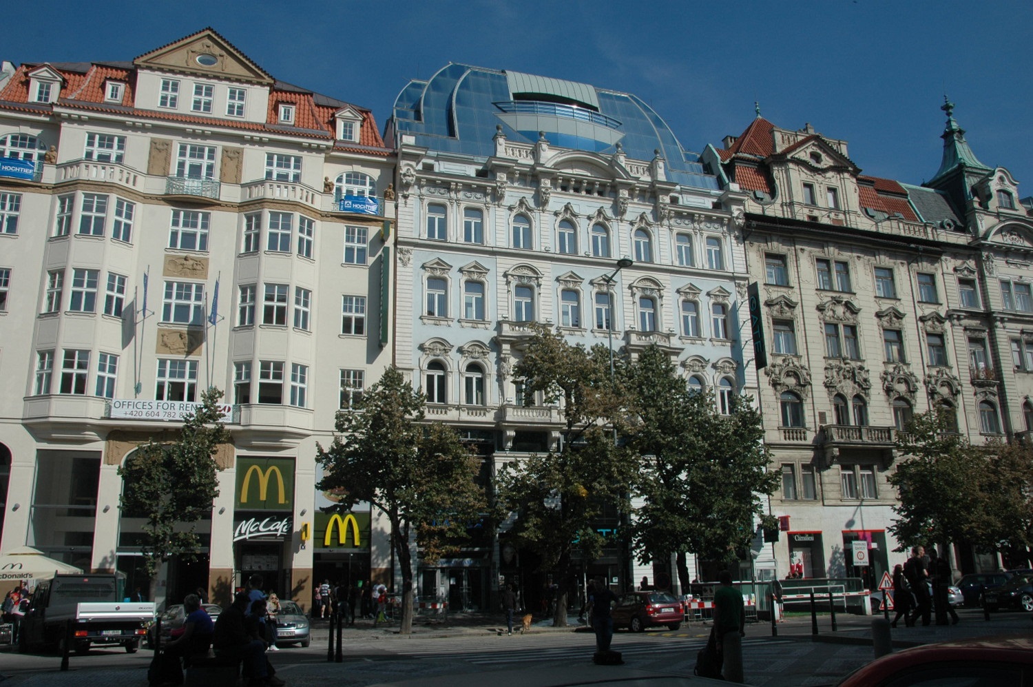
Who wants to co-build a city called Aldeness with me? :D
We need to decide on a location
 OpenGeofiction
We need to decide on a location
Hey all, this is an off-handed question because I’m just curious if anybody else is as mad as me, but what’s the densest quality mapping you have all seen in OGF? Like packed in tight blocks of buildings. It’s because sometimes I do worry that the density I work at takes an effect on the OGF servers (though it’s probably not me bringing it down all the time realistically). Also, just because there’s something just aesthetically pleasing to see dense mapping.
The OGF research & development department proudly presents our newest tool, the area size calculator:
http://tile.opengeofiction.net/util/relation_area.html
Just enter the relation ID into the “Relation” field at the bottom left corner, and hit “Enter”. Alternatively, its also possible to enter the ogf:area, ogf:id or ref of a relation. If none of these matches, Nominatim will be queried for the name.
This tool is intended to replace the daily generated area table.
OGF will be offline for maintenance on Saturday, April 22, starting at 12:00 pm UTC, for several hours (at least 4, probably).
Taking a break from Opengeofiction to study for my CDL licence. I just got a new job and have to devote all of my energy into prepping for the testing I have to do. I also have a broken laptop screen which hinders me at the moment from doing much of anything on the computer. Will be back soon. Happy mapping guys.

Just a friendly reminder that any person using more than one OpenGeofiction account may be immediately and permanently banned. Please consider yourself warned. Thanks!
Hello mappers. I have many questions about this fictional-realistic world, and it is there are many basic data that are lost in the wiki or not defined at all. I suggest to create pages in OGF Wiki trying to explain many basic aspects of the OGF Planet (from here, OGFp). Anywhere, here are some of those questions:
Where are the OGFp? In a solar system like ours or in another with other design?
What is the size of the OGFp? The same as Earth?
In consequence, are the physical characteristics of the OGFp different from the Earth?
What is the name of the OGFp?
Do the OGFp have natural satellites?
How many oceans and continents are in the OGFp?
How the landmasses in the OGFp fit in the tectonic plates theory?
How different are the geophysics in the OGFp?
Is there any geological history for the OGFp?
When did the life surged? Does it follows any evolutive theory?
Are we assuming that the habitants of the OGFp are humans or another kind of species?
In any case, where did this intelligent species/OGF-humans appeared by first time?
Where is the highest point over the sea level?
Where is the lowest point over the sea level?
Where is the deepest point in the ocean under the sea level?
What is the biggest ocean and continent?
Where are the northernmost and southernmost points of land? And the easternmost and westernmost?
What are in the north and south poles?
Where are the most hottest and coldest places and by how much?
What is the longest river?
What is the biggest dessert? Are other biomes also measured?
What is the biggest lake or inland sea?
What is the biggest island?
What is the biggest glacer?
Where are the most remote point of the OGFp?
What is the most populated country and city?
april seems to be very eventful in real life this year. i havent been very active this past few days, as i was on a trip to London to celebrate my birthday (13th btw).
lots of (new and original) things are scheduled for the rest of this month and may.
i learned a lesson:
no one will appreciate or care about my work if i get too inspired and start to copy. thats what i have been doing lately. i got a little weird and started literally copying some users work because i had small amounts of time on OGF, and i could be doing something meaningful with my life, but i also wanted to be perceived as a good and experienced mapper by the community here. i also just wanted a quality country to present.
i already know my work is certainly not astonishing, so i am trying to make a difference.
you may have noticed that i have redrawn certain parts of the country here and there, and i now want to focus on Loravia for a few months.
I am aiming for it to be a constitutional republic in the “oh so lovely mountains that i am yet to come up with a good name for”, that makes most of its money from tourism. There will be a purely slavic culture, with some elements of modern art and design in certain parts of it.
Loravia will be a beautiful city with lots of cathedrals and churches and theatres and cinemas and pubs and bars and restaurants and also, some nice buildings like these that i dont known the english name for. The old town is a completely car free pedestrian zone were people can mingle and relax in bars, restaurants etc…
Various tourist attractions will be in the old town, and i will try to make it hve a special charm to it.
I would call this continental highway system the AR-oad system.
Here’s a map view intended to help with mapping objects at the right size:
http://tile.opengeofiction.net/util/map_scale.html?pxpt=0.277
You can view the map either at a fixed scale or at fixed zoom, depending on which of the input fields is selected. For the scale to be correct, the pxpt URL parameter (the pixel pitch, in millimeters) needs to be adjusted for your monitor.
Note that zooming by mouse wheel or double-click is disabled, but you can set the zoom by entering a value into the “Zoom” input field and hitting “Enter”.
You can also select the “OpenStreetMap” or “OpenTopoMap” layer for real-world comparisons, and below the zoom control in the upper left corner, there’s also a measuring tool included.
We can all agree that OGF is supposed to be like the real world, but does not have actual real-world features. And if something exists in the real world, we avoid having it in OGF.
But, it often happens that we just keep something in OGF, changing nothing but the name (example: German->Gaerman). So basically, we have an OGF version for almost everything, just with a different name. I think this has gone too far - we need to be more imaginative, more inventive, more creative!
e
Ok. I would like to ask again,
If numbering’s better,
Thank you
For some reason, JOSM has decided to stop working. When I try to download the map from OGF, I get this popup.

Does anyone know why this happens and how to fix it?
Thanks.
Edit: It works fine now after I made the area slightly smaller. See the replies for more info, if you’re curious or having the same problem yourself.
How recommended is it to use JOSM? Also what are the differences between JOSM and editing in the site?
Hello! I am new to GeoFiction and have a question about making rivers. In order to make the river gradually wider as it gets to the ocean, would the best option be to just make the river an area? Or would the line tool allow me to do this somehow? Any advice is greatly appreciated.
Hi! As you can see I am new to this community. I will be editing in Gobrassanya (for now). If you have any tips for editing, please share it to me. Thanks!
May is close, and the biggest european tv show is on a countdown. I’ve already seen in OGF something called geovision, inspired by eurovision, but in an international way ( and it seems its forgoten). I believe this should be related to Western Uletha, as it seems is the OGF’s Europe. But I want to go in a real interesting competition. What if a real world country competing in Eurovision is assigned to a western ulethan country? Create a singer or band, and a song, but link its destiny to a real country. What you think about this ulethans? Should we choose a country or do it ramdomly in a raffle? It has sense to relate it to the vinnic comunity, and it requires creating a ulethan tv broadcast union. For this first broadcast we should find a host. (It can be given to the country related to Ukraine (this years host). Ulevision? Ulethavision?
Another way to enjoy Eurovision hahaha
I hope this helps in cutting costs for motorways, roads or whatever, because I know every meter costs a huge amount of money. There is some mathematics involved,
Here is a scenario: You have built up 4 towns (or buildings or whatever) and now you need to join them up. These 4 towns (or buildings in the picture) happened to form a square (let’s assume) 1 by 1 Kilometer or mile if you are British. 
I am thinking about removing motorway exit numbers; so
Thanks!